|
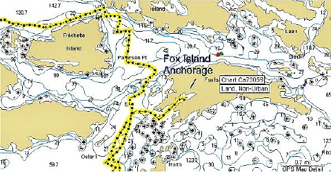
GPS Continued

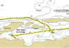
Garmin MapSource BlueChart
Example
Click to Zoom Picture
|
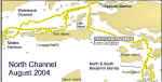
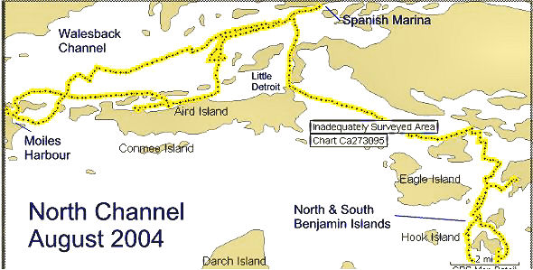
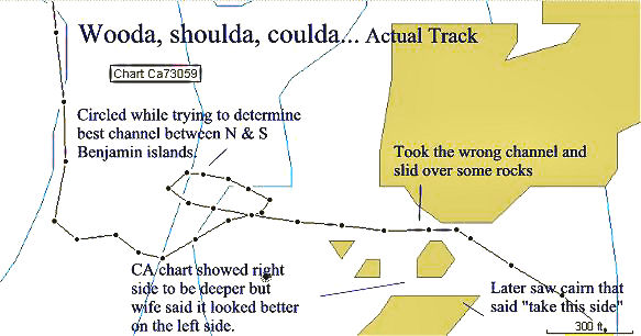
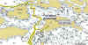
Actual "Mistress" Tracks and Anchorages
|
|
|
|
|
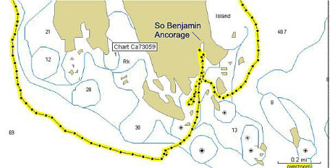
| So. Benjamin |
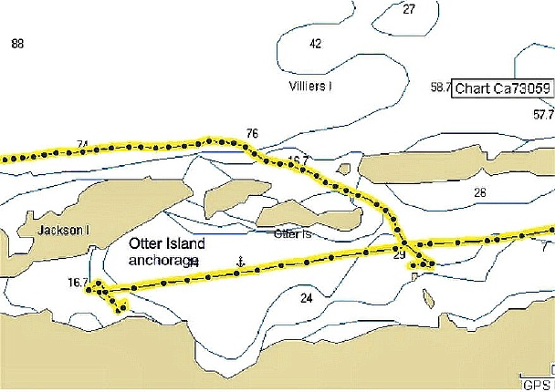
Otter Island |
Fox Island
|
Click to expand any picture
This is the
"breadcrumb" track of our North Channel trip.
North and South Benjamin Islands are in the lower right
hand of the above graphic.

This track is a close
up of the track on the left that shows our actual path
between the Benjamins.
|